 Works
Works Civil Works Surveying
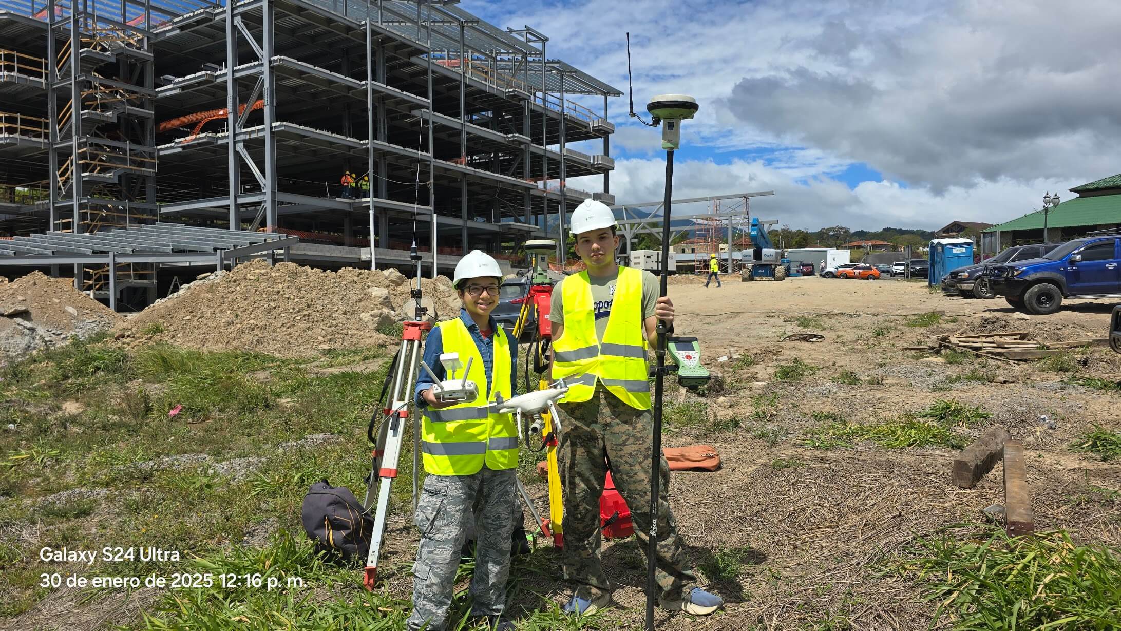
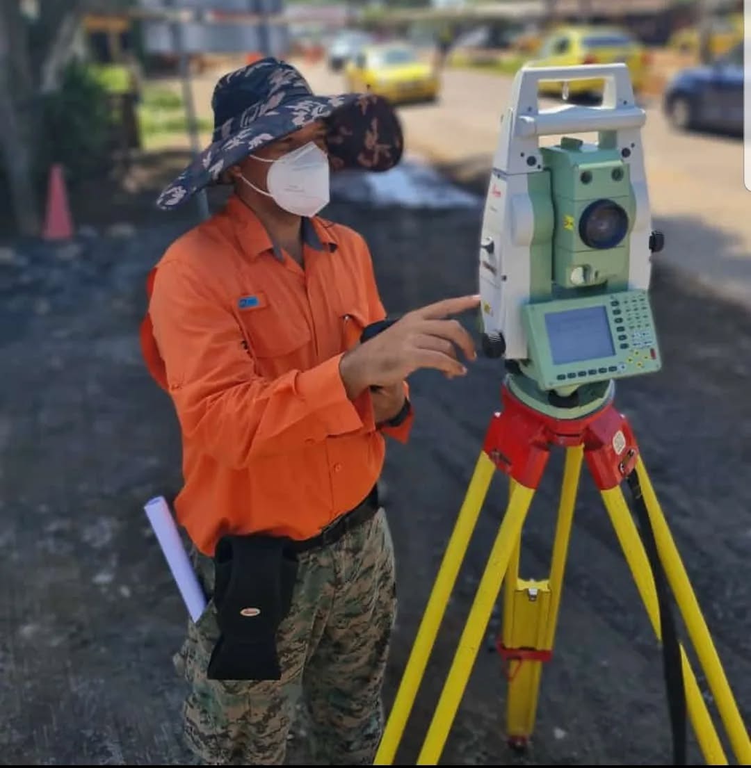
Surveys and staking out for roads, bridges, buildings and road infrastructure.
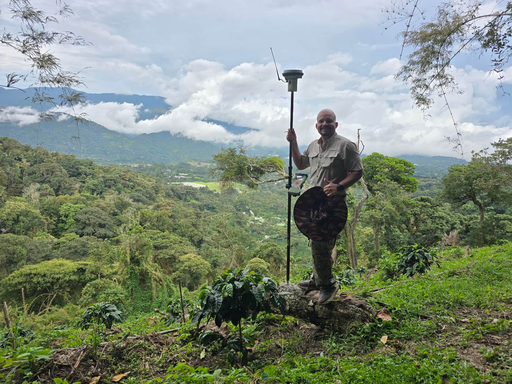
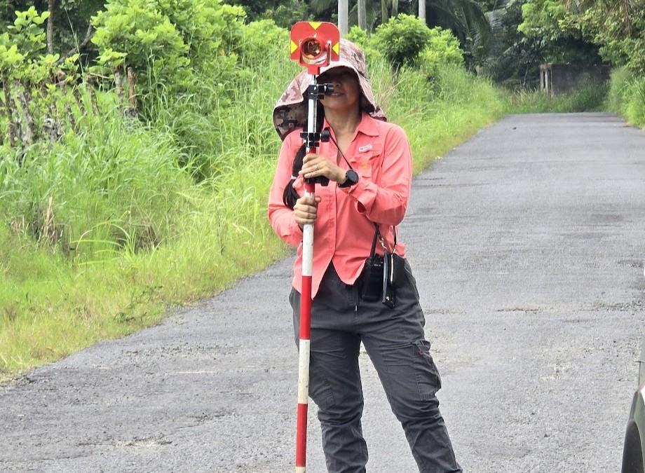
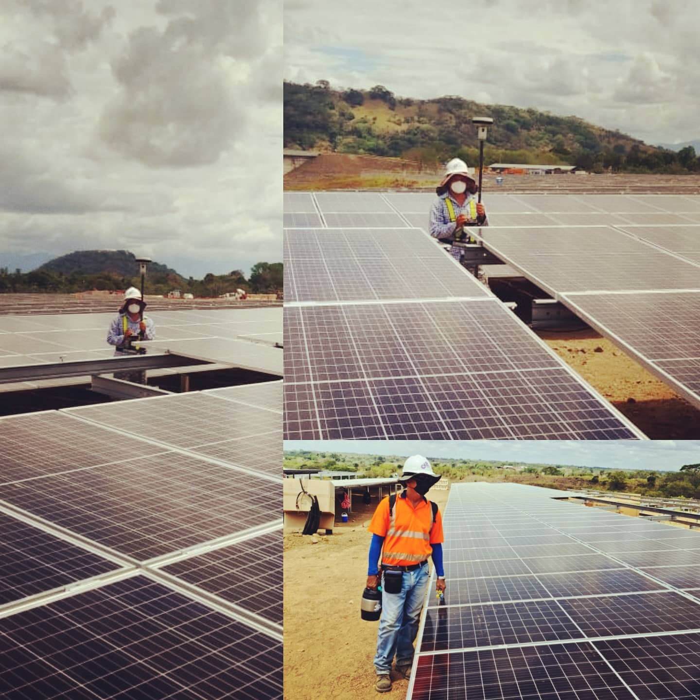
High-precision surveying, geodesy and geomatics. More than five decades measuring Panama with the most advanced technology: GNSS RTK, total station and drones.
0+
Years of experience
0+
Projects delivered
0+
Hectares measured
0+
Satisfied clients
/ Services
Works Surveys and staking out for roads, bridges, buildings and road infrastructure.
GNSS High-precision geodetic measurements using state-of-the-art GPS/GNSS RTK technology.
 Drone
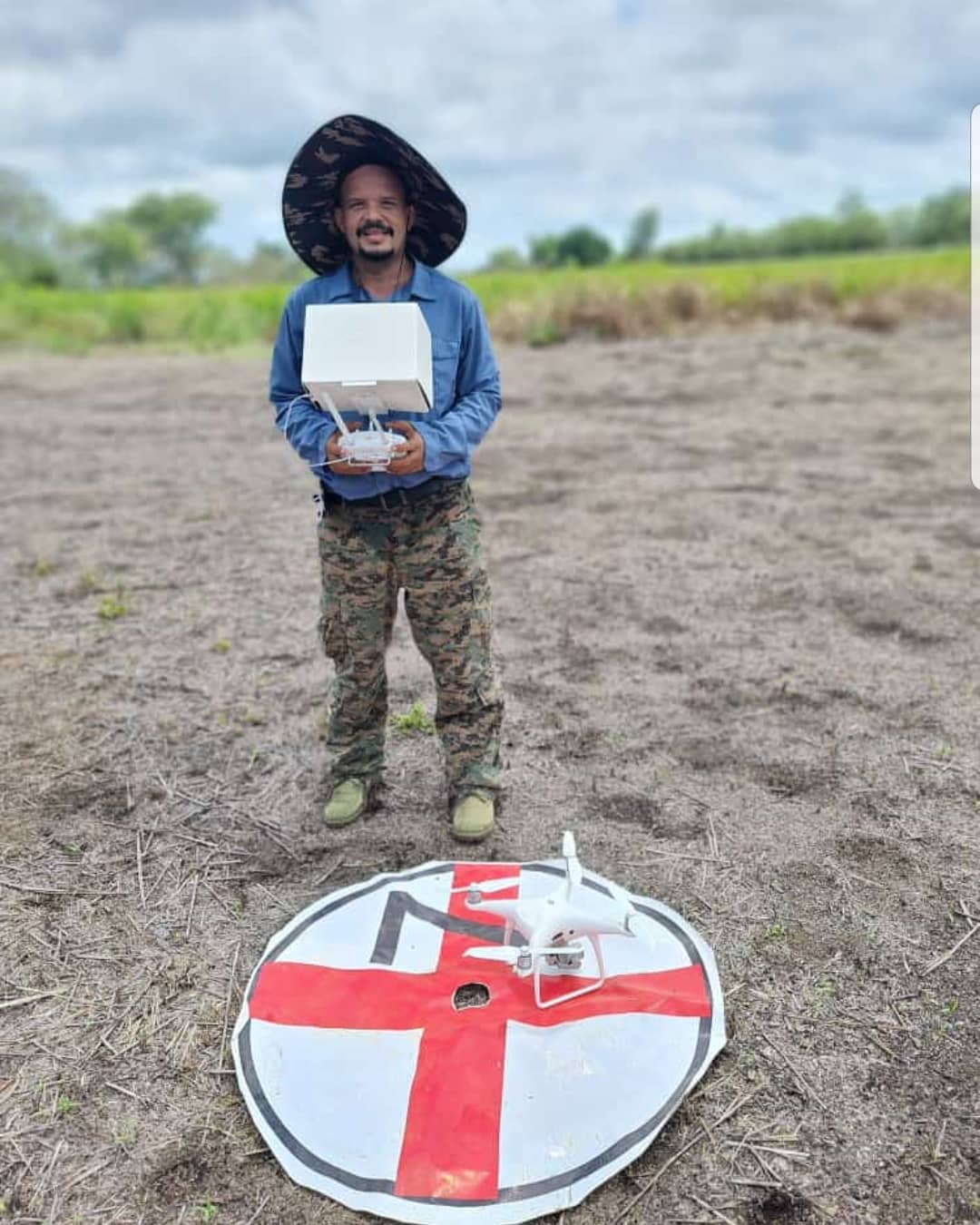
Drone Aerial surveying for digital terrain models, orthophotos and volume calculation.
 Maps
Maps Maps with contour lines, control points and precise planimetric detail.
 GIS
GIS Geographic Information Systems and cadastral management to administer the territory.
Appraisal Expert reports for property, boundary and territorial disputes.
Technology
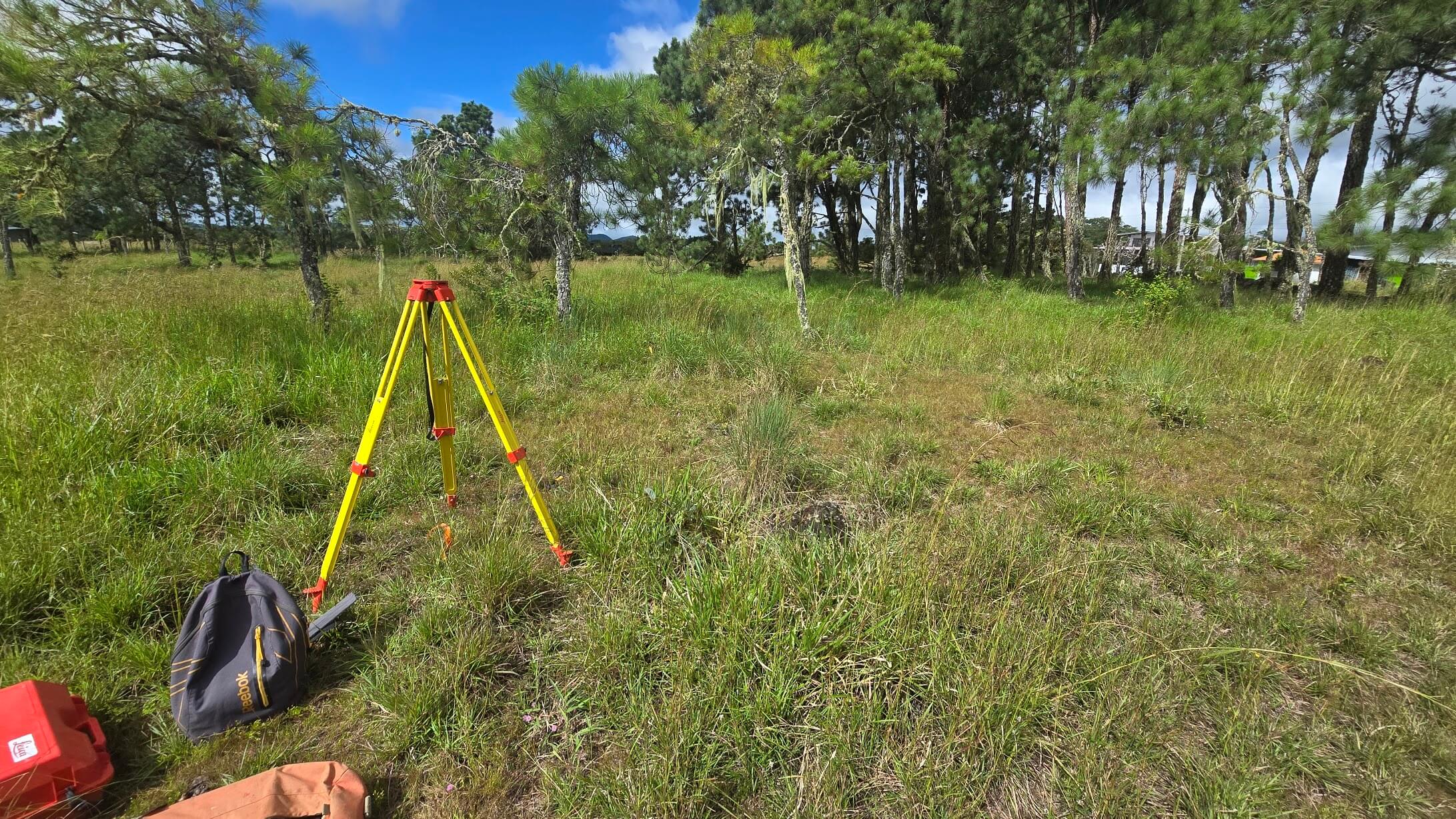
GNSS · Total · Drone
/ Technology
We combine state-of-the-art geodetic equipment with professional office processing to deliver reliable, traceable results ready for construction.
/ How we work
We coordinate the visit and capture field data with GNSS, total station or drone.
Post-processing, network adjustment and office work. Quality control of every point.
Maps, contour lines, orthophotos, digital models and reports according to the project.
Technical support during construction and direct attention.
Tell us what you need to measure and we'll prepare a no-obligation quote.
 WhatsApp Escríbanos