Comprehensive Surveying Solutions
More than 55 years of experience back every topographic survey we perform.
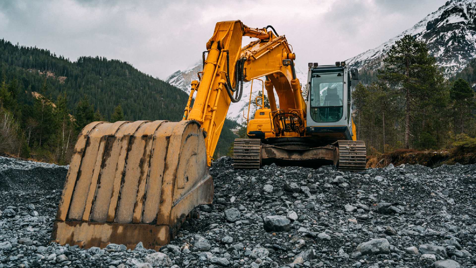
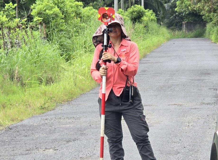
Civil Works Surveying
Topographic surveys for construction projects, including roads, bridges, buildings and road infrastructure.
- Staking out of civil works
- Slope and level control
- Cross and longitudinal sections
- Earthwork volume calculation

Topographic Maps
Preparation of maps with contour lines, control points and planimetric and altimetric details with certified precision.
- Contour lines every 1m, 2m or 5m
- Elevation points
- Planimetric details
- UTM coordinates
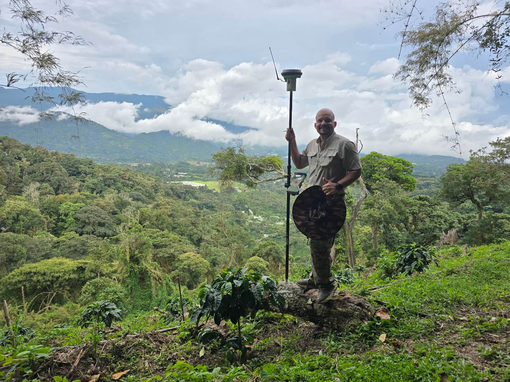
Geodesy and GNSS
High-precision geodetic measurements using state-of-the-art GPS/GNSS technology for large areas.
- GPS/GNSS positioning
- Geodetic control networks
- Coordinate transformation
- Network adjustment
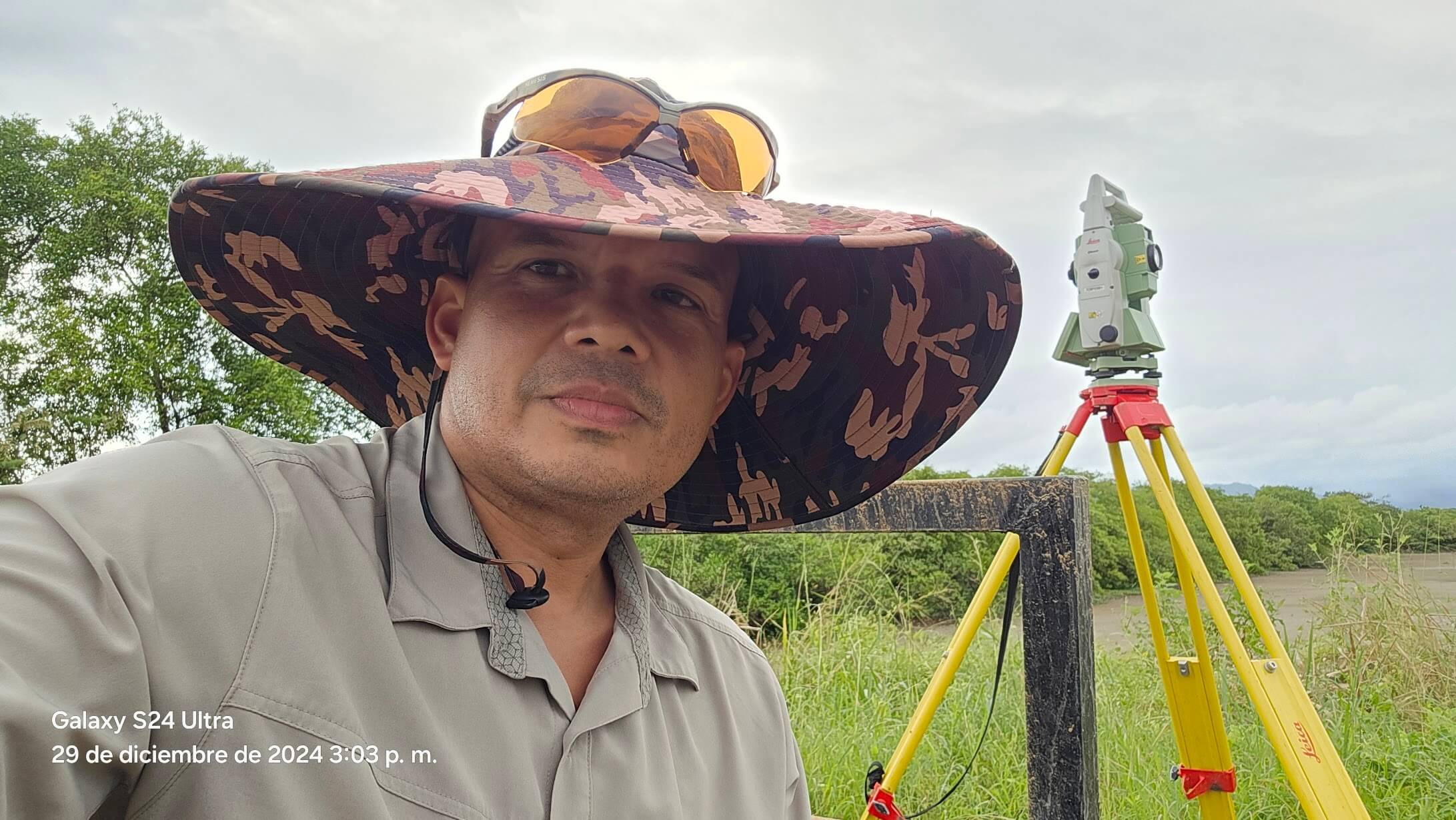
Survey Expert Appraisals
Certified expert reports for property lawsuits, boundary conflicts and territorial disputes.
- Expert reports
- Area measurement
- Boundary identification
- Court testimony
Drone Topographic Survey
Aerial surveys with drones to generate digital terrain models, orthophotos and point clouds.
- High-resolution orthophotography
- Digital Terrain Models (DTM)
- Digital Surface Models (DSM)
- 3D point clouds
Cadastre and GIS
Geographic Information Systems and cadastral management for better municipal and national territorial administration.
- Cadastral survey
- Geospatial database
- Thematic maps
- Layer management
Request a Quote
Complete the form and we will contact you as soon as possible.